How to Determine Base Flood Elevation for Your Property
You can determine the base flood elevation for your property by accessing the official FEMA Flood Map Service Center or by reviewing your property’s elevation certificate, which typically costs between $300 and $600 for a professional site visit. Understanding how to determine base flood elevation is essential for every Southwest Florida homeowner to assess their vulnerability to storm surge and heavy rainfall flooding. This metric serves as the regulatory standard for floodplain management and insurance rating across Lee, Collier, and Charlotte counties. Because the chance of flooding varies by location, knowing your specific risk is vital for long-term property resilience.
Key Takeaways
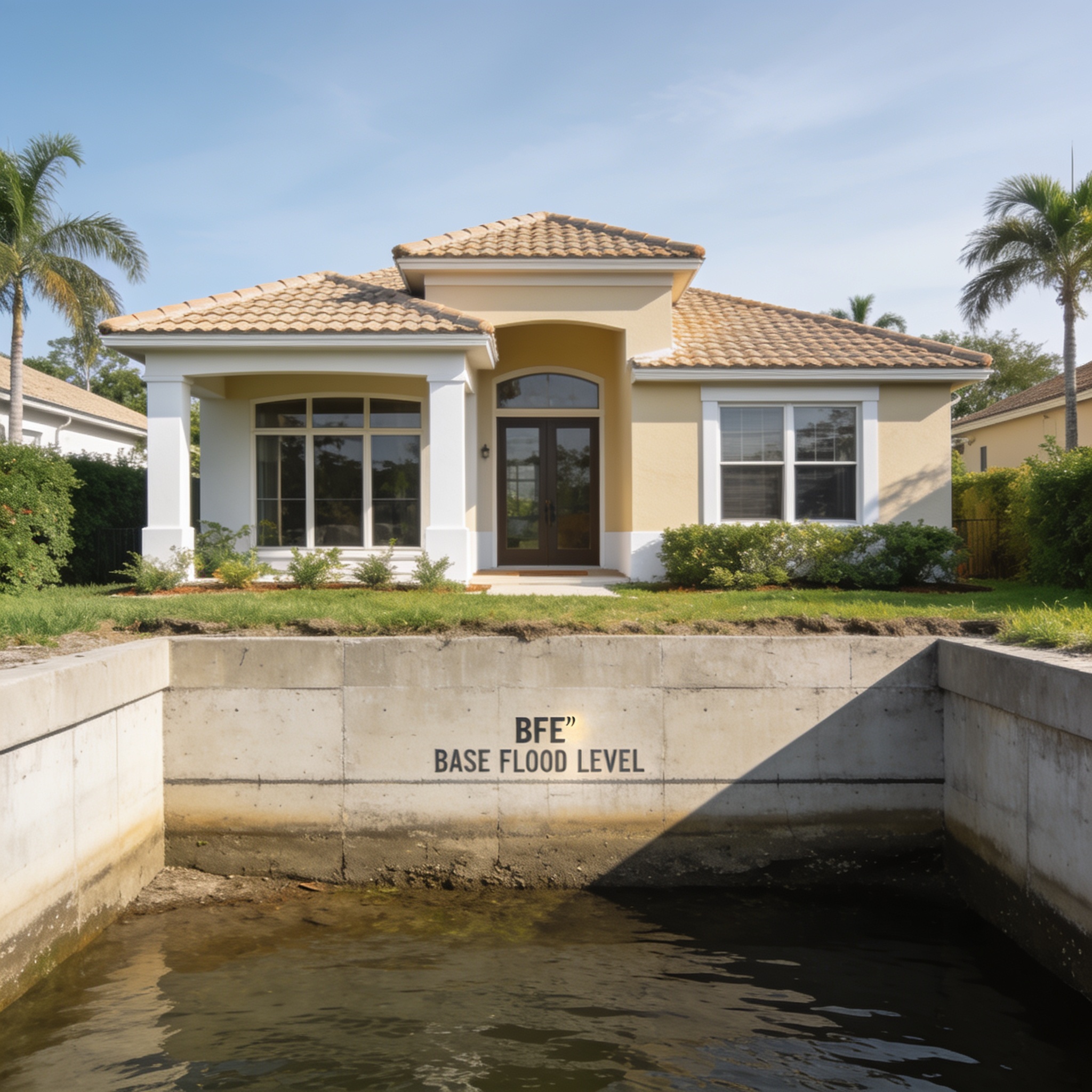
- BFE represents the computed elevation to which floodwater is anticipated to rise during a 1% annual chance flood event.
- FEMA publishes this data in Flood Insurance Rate Maps (FIRMs) and Flood Insurance Studies (FIS).
- Property owners can find their specific BFE by using the FEMA Map Service Center website or consulting local building departments.
- Elevation certificates provide the most accurate, site-specific measurement for your home’s lowest floor relative to the BFE.
- Living below the BFE significantly increases your annual flood insurance premium costs and risk of catastrophic water damage.
What Is Base Flood Elevation (BFE) and Flooding?
Base flood elevation is the regulatory water surface elevation resulting from a flood that has a 1% chance of being equaled or exceeded in any given year, commonly known as the “100-year flood.” This specific measurement is the cornerstone of the National Flood Insurance Program (NFIP) and dictates construction requirements in high-risk zones. In SWFL, where flat topography makes drainage difficult, these flood elevations are critical for determining how high a structure must be built to mitigate potential flooding. BFE is the elevation at which the water is expected to reach, and it is measured to the nearest tenth of a foot. Because flooding is dynamic, these elevations are updated periodically to ensure community safety.
Who Determines FEMA BFE Data and FIS?
FEMA calculates the BFE through rigorous hydrologic and hydraulic modeling that analyzes historical flood data, stream flow, and watershed characteristics. Community officials and engineers work with FEMA to update these models, ensuring the resulting BFE data reflects current environmental conditions and land development. The process involves analyzing cross-sections of rivers and coastal areas to compute how water moves during a major flood event. Once the BFE determined by these studies is finalized, it becomes the official benchmark for local floodplain regulations. Detailed technical documentation for these calculations is often found within the official FIS report for the region.
How Can I Find the BFE Data and Floodplain Permit Information?
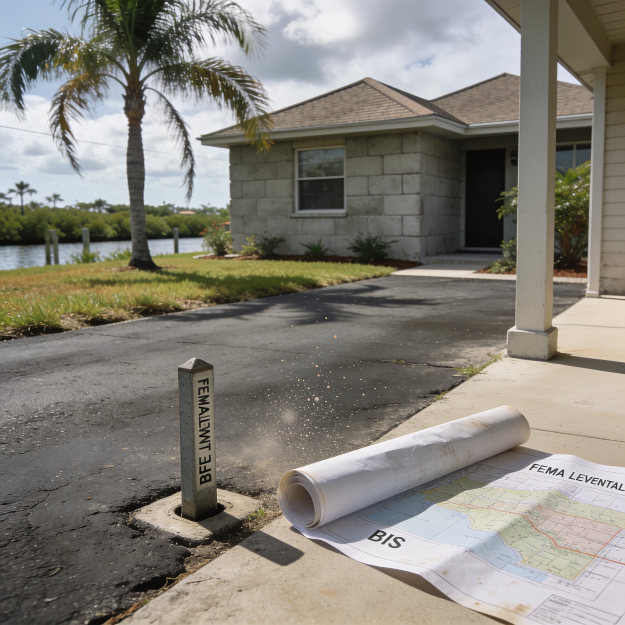
You can find the BFE for your specific property by visiting the FEMA Map Service Center online and entering your address to view the relevant Flood Insurance Rate Map (FIRM). Following this 5-step checklist will help you accurately determine the BFE and understand your flood risk:
- Step 1: Visit the official FEMA Map Service Center website and input your full property address.
- Step 2: Locate the effective FIRM panel for your neighborhood to identify the specific flood zone designation, including Special Flood Hazard Areas (SFHAs) and zones ae.
- Step 3: Review the Flood Insurance Study (FIS) report for your county to find the specific flood profile or cross-section data for your area.
- Step 4: Secure a building permit if you plan to renovate your home, as local codes often require proof of compliance with current BFEs and relevant bfe information.
- Step 5: Compare the floor elevation of your home’s lowest floor to the BFE provided on the map to calculate your risk level.
What Is the Difference Between BFE, Ground Elevation, and Design Flood Elevation (DFE)?
BFE is the regulatory standard for flooding, while ground elevation is the actual height of the dirt at your foundation, and DFE is the height required by local building codes for new construction. Design flood elevation often includes additional height known as freeboard to provide a safety buffer against future sea level rise. Many jurisdictions now enforce stricter requirements, often mandating that new structures be elevated at least two feet above the BFE to account for future flooding. If you are dealing with Water Damage Restoration, knowing these distinctions helps in planning for future mitigation. For example, an ae zone classification will have specific BFE requirements that differ from other flood zones.
Why Does Base Flood Elevation Matter for Homeowners and Flood Insurance?
Your BFE directly influences your flood insurance premiums, as properties located below this level are considered to be in a Special Flood Hazard Area (SFHA). Insurance requirements and mortgage lenders use this data to determine if you must carry mandatory coverage to protect your investment. If your home is in a high-risk zone, such as Zone A floodplains, your annual premium will be significantly higher than a home elevated above the BFE. FEMA’s mapping helps identify these SFHAs, which are areas subject to inundation by the 1% annual chance flood.
What Happens If My Home Is Below the Base Flood Elevation?
Homes situated below the BFE are at a much higher risk of flooding during tropical storms and hurricanes, which may necessitate professional Water Damage Restoration if water enters the structure. Living below the BFE means your property is more likely to experience severe flooding, leading to higher insurance costs and potential structural damage. In such cases, property owners often look into mitigation strategies like elevating the home or installing flood vents to reduce the impact of rising water. An estimated elevation of your property’s lowest floor is essential for determining your specific exposure to flooding.
How High Above BFE Should a Home Be Built to Avoid Flood Insurance or Reduce Risk?
Most local building codes in Southwest Florida now require new construction to be built at least one to three feet above the BFE to provide a necessary safety margin. Building above the BFE reduces your risk of flooding and can lead to substantial long-term savings on your annual flood insurance premium. This extra elevation acts as a barrier against unpredictable storm surges that often exceed historical flood levels.
Does Base Flood Elevation Ever Change?
The BFE can change over time as FEMA updates flood maps to reflect new development, improved modeling, or changes in the local floodplain. Property owners can request a Letter of Map Amendment (LOMA) if they believe their property has been incorrectly mapped in a high-risk zone. If you have experienced flooding, contacting Flood Cleanup and Water Extraction Companies is the first step toward recovery while you verify your current status.
| Metric | Definition | Purpose |
|---|---|---|
| BFE | Regulatory flood height | Insurance and zoning |
| Ground Elevation | Actual dirt height | Site planning |
| DFE | BFE + Freeboard | Construction safety |
Frequently asked questions
Understanding these common questions will help you navigate the complexities of flood data and insurance requirements in Florida.
Is an elevation certificate the same as a BFE?
No, an elevation certificate is a document that records the actual elevation of your building, whereas the BFE is a regulatory standard set by FEMA for your specific area.
Can I determine BFE without a surveyor?
You can estimate the BFE using FEMA maps, but a licensed surveyor is required to provide an official elevation certificate for insurance purposes.
How does a flood zone affect my BFE?
Your flood zone designation indicates the level of risk, which is directly tied to the BFE and determines your mandatory insurance requirements.
What is freeboard in construction?
Freeboard is the additional height above the BFE that local building codes require to provide a safety factor against flooding.
Does a LOMA change the BFE?
A LOMA does not change the BFE itself, but it can officially remove a specific property from a high-risk flood zone designation.
Our editorial team verifies licensing and reviews for every restoration company in the directory and writes practical, Florida-specific guides to help homeowners act fast and protect their insurance claims after water, fire, mold or storm damage.