Base Flood Elevation vs 100-Year Flood: Understanding Your Property Risk
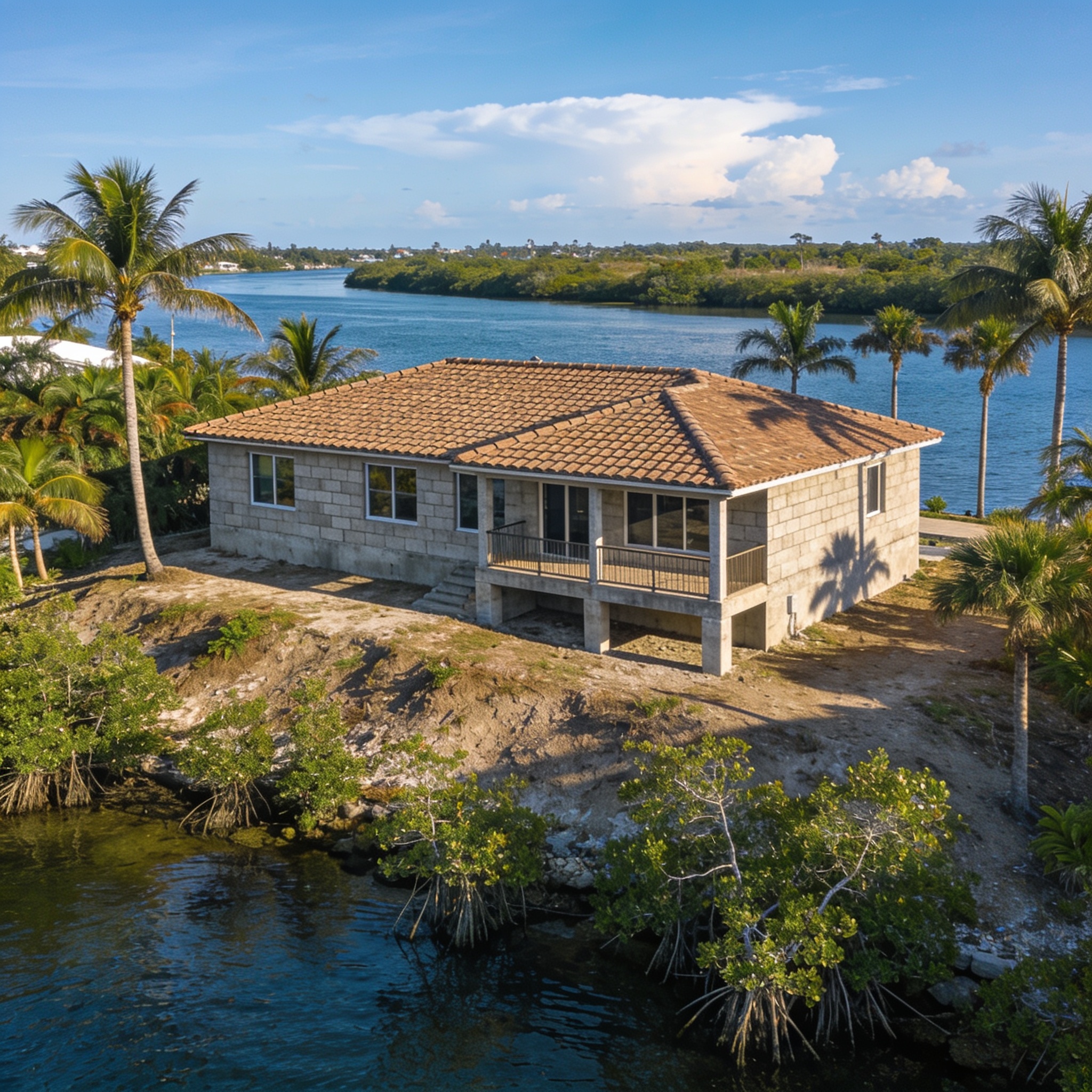
The primary difference between base flood elevation vs 100-year flood is that BFE is a specific measurement of water height in feet, while a 100-year flood defines the statistical probability of a flood event occurring in any given year. Understanding these metrics is essential for every Southwest Florida homeowner to accurately assess their property’s flood risk and manage potential insurance costs. Whether you are dealing with the aftermath of a storm or planning new construction, knowing these values helps you navigate the complex world of flood maps. By reviewing flood risk information, you can better understand the likelihood of flood events and the importance of fema flood zones in your community.
Key Takeaways
- BFE represents the computed elevation to which floodwater is anticipated to rise during a base flood event.
- A 100-year flood is a statistical designation meaning there is a 1% annual chance of flooding at that level.
- FEMA’s flood maps use these metrics to establish insurance requirements and building codes in Lee, Collier, and Charlotte counties.
- Your elevation certificate is the official document that compares your structure’s lowest floor to the BFE.
- Flood insurance policies are heavily influenced by your property’s elevation relative to the established BFE, which is a primary factor used to determine flood insurance premiums.
What Is Base Flood Elevation (BFE)?
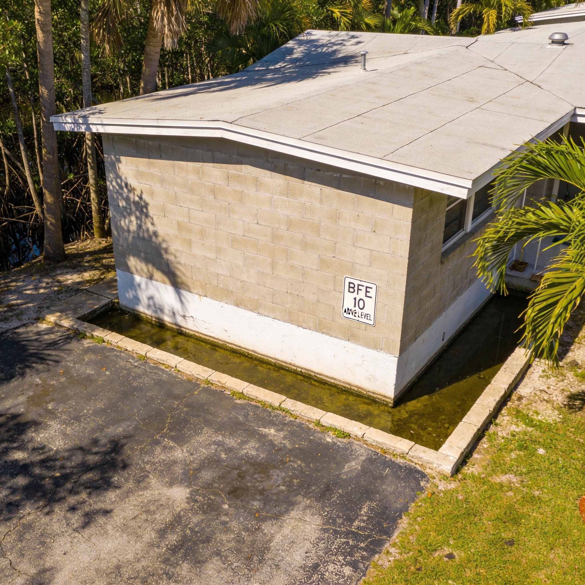
Base flood elevation is the regulatory requirement for the elevation of the lowest floor of a structure, measured in feet relative to the North American Vertical Datum of 1988. In Southwest Florida, this measurement is critical because it dictates how high your home must be built to mitigate the impact of a 1% annual chance flood. The Federal Emergency Management Agency (FEMA) establishes the BFE to help communities manage development in areas prone to storm surge, coastal flood events, and heavy rainfall.
Understanding the BFE measurement
The base flood elevation is the specific height that water is expected to reach during a base flood event, which is a flood that has a 1% chance of being equaled or exceeded in any given year. This number is derived from extensive flood insurance studies performed by engineers and floodplain management experts. For coastal properties in SWFL, this elevation often accounts for wave action and tidal influence, which can significantly increase average flood depths and overall flood protection needs. Furthermore, these flood depths are shown on official documents to help residents understand the potential for high flood waters during major events.
How Does FEMA Define a 100-Year Flood Zone?
FEMA defines a 100-year flood zone, formally known as a Special Flood Hazard Area (SFHA), as any land area that has a 1% annual chance of flooding. This designation is not a guarantee that a flood will occur once every century, but rather a way to communicate the ongoing risk of flooding. In regions like Punta Gorda or Sanibel, these zones are frequently updated on fema flood maps to reflect changing environmental conditions.
The reality of the 1% annual chance
Many homeowners mistakenly believe a 100-year flood only happens once every hundred years, but in reality, there is a 1% chance of this flood occurring in any given year. Over the course of a standard 30-year mortgage, a property located within this zone has a roughly 26% chance of experiencing at least one flood event. This high-risk flood potential is why lenders often enforce mandatory flood insurance purchase requirements for properties within these boundaries, meaning you are required to have flood insurance if you hold a federally backed mortgage in these areas.
Is Base Flood Elevation the Same as the 100-Year Flood Elevation?
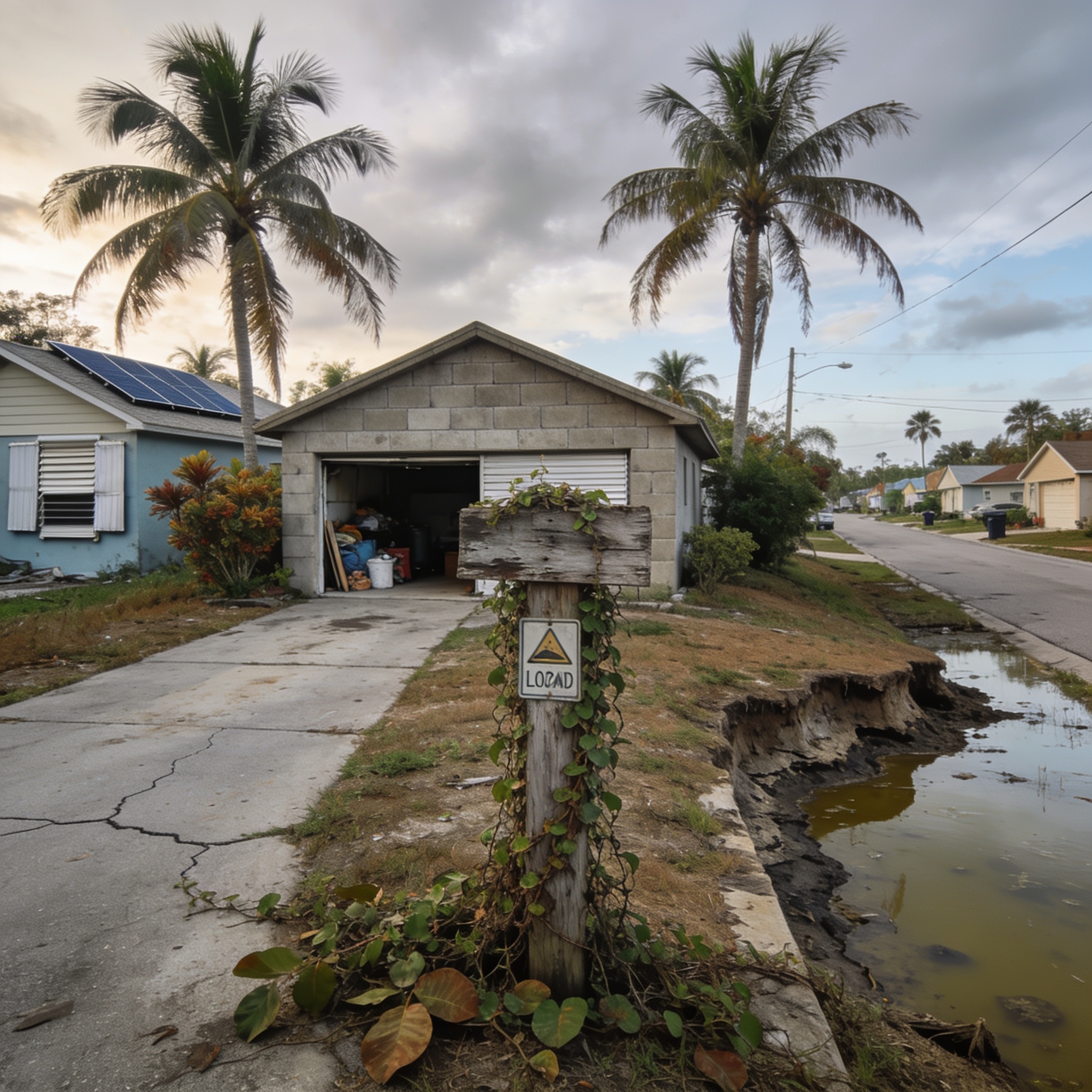
Base flood elevation and 100-year flood elevation are essentially two ways of describing the same hazard level. While the 100-year flood refers to the frequency of the event, the BFE provides the specific vertical measurement of that flood level. If you are looking for water damage restoration near me, understanding that your home sits below this elevation explains why your property is susceptible to recurring water intrusion and why insurance claims are more frequent in these zones.
How Is Base Flood Elevation Determined?
FEMA calculates the BFE through rigorous scientific study, including historical flood data and complex hydraulic analyses of local geography. Experts evaluate how water moves through riverine systems or coastal areas to determine the potential flood depths. These studies are essential for local officials to update fema flood zone maps and enforce safe building practices. Every community that participates in the national flood insurance program must adhere to these standards.
Data inputs for BFE mapping
- Historical rainfall and storm surge records from regional weather events.
- Topographic surveys that map the elevation of the land surface.
- Hydraulic modeling that simulates how water flows through the floodplain.
- Analysis of existing federal flood control structures like levees or drainage systems.
Is a Higher or Lower Base Flood Elevation Better for Your Property?
A higher BFE relative to your home’s finished floor elevation is generally worse, as it indicates a higher risk of water entering your living space. Conversely, if your home is built at an elevation significantly higher than the BFE, your risk of flood damage is greatly reduced. Property owners with a structure built well above the base flood elevation typically enjoy lower flood insurance premiums because they are less likely to suffer from severe water damage.
| Elevation Status | Risk Level | Insurance Impact |
|---|---|---|
| Above BFE | Low | Lower insurance rates |
| At BFE | Moderate flood hazard | Standard rates |
| Below BFE | High | Higher premiums |
What Is Worse: A 100-Year Flood or a 500-Year Flood?
A 500-year floodplain event is technically worse than a 100-year flood because it represents a much more extreme and rare event with a 0.2% annual chance of occurring. While a 100-year flood is the standard benchmark for insurance requirements, a 500-year flood event involves significantly higher flood depths and more widespread destruction. If you have experienced Water Damage Restoration, it is important to know which zone your property occupies to prepare for future risks.
Why Does Base Flood Elevation Matter for Homeowners and Flood Insurance?
The BFE is the primary factor used to determine cost of flood insurance and whether flood insurance is mandatory by your mortgage lender. If your property is in a high-risk fema zone, your lender will require coverage to protect their financial interest. Knowing your property’s BFE is essential for every homeowner because it directly influences your annual insurance costs and your long-term financial security.
What Happens If My Home Is Below the Base Flood Elevation?
If your home is below the BFE, it is considered to be in a high-risk area, which often results in higher insurance requirements and a greater likelihood of needing professional Water Damage Restoration services. You may be able to lower your costs by installing flood vents or elevating your mechanical systems. In some cases, you may need to prepare an elevation certificate to prove the structure’s height, or file a Letter of Map Amendment (LOMA) if a professional survey proves the structure is actually on high ground.
How Can I Find the Base Flood Elevation for My Property?
You can find the BFE for your property by visiting the NFIP and FEMA Flood Map Service Center online and entering your specific address. The resulting flood insurance rate map will show you the flood zone designation and the BFE if one has been established for your area. Homeowners should always consult an official elevation certificate, which provides the most accurate measurement of the lowest floor of their specific building compared to the BFE.
Can Base Flood Elevation Change Over Time?
Yes, base flood elevation can change over time as FEMA works to update flood maps based on new data, urban development, and environmental factors like sea level rise. Local floodplain administrators often participate in the National Flood Insurance Program to ensure that these maps remain accurate for their communities. Because climate change and land development can alter water flow patterns, it is vital for every homeowner to periodically check their property’s flood risk status.
Frequently asked questions
These questions address common concerns regarding flood mapping and insurance for residents in Southwest Florida.
Does living outside the 100-year floodplain mean I am safe from flooding?
No, living outside the 100-year floodplain does not mean you are immune to flooding, as many flood events occur in moderate or minimal flood hazard areas where flood insurance is not required.
What is the difference between an AE zone and an X zone?
An AE zone is a high-risk area with a defined BFE, while an X zone is considered a moderate-to-low risk area where flood insurance is not mandatory but still recommended. You may also encounter an undetermined flood hazard area where studies have not yet been completed.
Can I appeal my flood zone designation?
Yes, if you believe your property has been incorrectly mapped, you can provide a professional elevation certificate to request a map change through FEMA.
How does sea level rise affect my BFE?
Rising sea levels can lead to updated hydraulic analyses that may increase the base flood elevation for coastal properties in the coming years. Residents are encouraged to purchase flood insurance regardless of their current zone to ensure financial protection, as flood insurance rates are subject to change based on updated risk assessments.
Is flood insurance mandatory for all homes in Florida?
Flood insurance is only mandatory if your home is located within a Special Flood Hazard Area and you have a federally backed mortgage.
Our editorial team verifies licensing and reviews for every restoration company in the directory and writes practical, Florida-specific guides to help homeowners act fast and protect their insurance claims after water, fire, mold or storm damage.