What Does Without Base Flood Elevation Mean for Your Property?
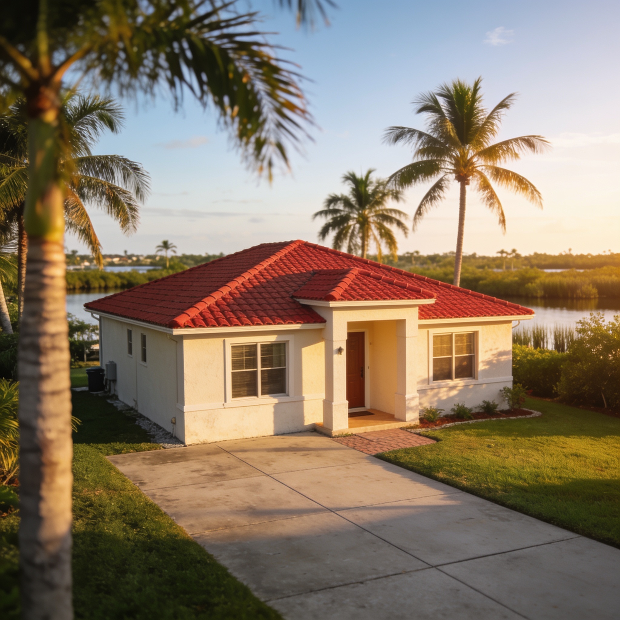
The term “Without Base Flood Elevation” (Without BFE) signifies that the Federal Emergency Management Agency has identified a flood zone on your property but has not calculated a specific numerical flood level, which often results in higher flood insurance premiums due to increased uncertainty. In Southwest Florida, this designation typically appears in areas where complex hydrology or lack of detailed studies prevents precise mapping, leaving property owners to rely on more conservative estimates for flood insurance rates. Understanding the property’s flood risk is the first step in effective flood mitigation. When reviewing your status, remember that flood depths are shown on some maps, but in “Without BFE” areas, you may need professional assistance to interpret your specific flood risk information.
Key Takeaways
- Without BFE indicates a flood zone where the specific elevation of a 100-year flood has not been determined by federal studies.
- Properties in these zones often face higher insurance costs because the National Flood Insurance Program must use more conservative risk assessments.
- You can often resolve this ambiguity by hiring a licensed surveyor to produce an elevation certificate for your specific structure.
- Understanding your flood zone is critical for planning, as it dictates mandatory flood insurance purchase requirements for federally backed mortgages.
- Flood risk is dynamic, and local environmental changes or updated zone maps can shift your property’s designation over time.
What Is Base Flood Elevation (BFE) and How Is It Determined?
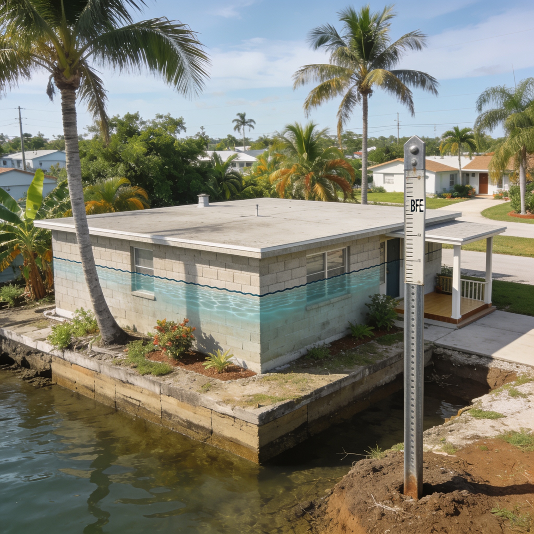
BFE is the elevation to which water resulting from a flood is anticipated to rise during a 100-year flood event. This elevation is determined by the Federal Emergency Management Agency through detailed hydrologic and hydraulic engineering studies that analyze rainfall, terrain, and drainage basin characteristics. In counties like Lee and Collier, these studies help establish the regulatory standard for construction and insurance. The resulting data is published on an official flood insurance study, which serves as the primary tool for assessing individual flood risk across the region. These studies define the flood plain boundaries, ensuring that any historical flood data is accounted for in future planning.
What Does ‘Without Base Flood Elevation’ (Without BFE) Mean on a FEMA Map?
Without base flood elevation means that while a property is located within a special flood hazard area, the specific water depth for a 100-year flood has not been established. This often occurs in Zone A, where the federal emergency management agency has identified a high-risk flood zone but lacks the detailed survey data to assign a specific number. When you encounter this on a fema zone map, it implies that the risk of flooding is present, but the exact severity remains an estimate. In Southwest Florida, this often impacts older neighborhoods where undetermined flood zones were common at the time the original maps were drawn. Residents in these areas must often carry flood insurance to protect their homes from the potential of high flood waters.
What Are the Different FEMA Flood Zone Codes and Which Are Considered the Worst?
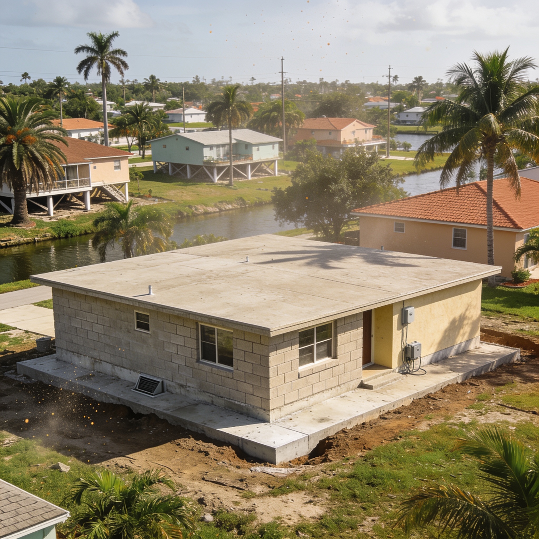
FEMA flood zone codes categorize areas based on their relative risk of flooding, with Flood Zone V and Zone AE representing the highest risk levels for coastal properties. The following list details the primary zones you will encounter in Florida:
- Flood Zone V: High risk coastal areas subject to velocity wave action, representing the most severe flood hazards.
- Zone V: Often used to designate areas with a high risk of flooding due to storm surge.
- Zone A99: Areas protected by a previously accredited flood protection system that is currently under construction.
- Zone AO: Areas with a 1% annual chance flood, usually characterized by average depths of less than three feet.
- Zone B: Moderate flood hazard areas, usually between the 100-year and 500-year flood plain.
- Zone AE: Areas with a 1% annual chance of flooding where base flood elevations have been determined.
- Zone A: Areas with a 1% annual chance of flooding where base flood elevations have not been determined.
- Zone X (Shaded): Moderate-risk flood hazard areas.
- Zone X (Unshaded): Lower risk areas, which represent a lower risk of flooding where insurance is not required but recommended.
Importance of FEMA Flood Zones
Understanding the importance of fema flood zones is essential for every homeowner. These zones help determine flood insurance premiums and dictate where flood insurance is mandatory. If your property falls within high-risk flood zones, you are required to purchase flood insurance if you carry a federally backed mortgage. Additionally, if you are in a high-risk area, you are required to have flood insurance to protect your assets against any flood area damage. The cost of flood insurance is often tied to these designations, making it vital to verify your zone.
Is a Higher or Lower Base Flood Elevation Better for Your Property?
A higher base flood elevation is generally better for your property because it indicates that the regulatory flood level is higher, allowing for safer building elevations. When your structure’s elevation is higher than the BFE, you are less likely to experience water damage during a major storm. If you are dealing with property damage, professional water damage restoration near me services can help mitigate long-term structural issues. Conversely, a lower BFE relative to your ground elevation increases your risk of flood damage during a significant flood event.
What Is the Difference Between Base Flood Elevation, Ground Elevation, and Design Flood Elevation (DFE)?
Base flood elevation is the regulatory standard, ground elevation is the actual height of your land, and design flood elevation is the height at which you must build to meet local code. While BFE is determined by the federal emergency management agency, DFE often includes an additional “freeboard” requirement set by local building departments in Southwest Florida. This extra buffer is designed to account for sea level rise and unpredictable storm surges. Understanding these distinctions is vital when you require professional Water Damage Restoration to bring a home back to code.
What Happens If Your Home Is Below the Base Flood Elevation?
If your home is below the base flood elevation, your property is at a significantly higher risk of flooding, which typically results in substantially higher flood insurance premiums. Being below the BFE often triggers mandatory flood insurance purchase requirements for those with federally backed mortgages. You may also face stricter building codes if you perform major renovations, as you might be required to elevate the structure. If you have experienced Water Damage Restoration, verifying your elevation relative to the BFE is a crucial step in preventing future losses.
How Does Base Flood Elevation Impact Flood Insurance Costs?
Flood insurance premiums are directly influenced by the relationship between your building’s lowest floor elevation and the base flood elevation. Properties located in a special flood hazard area without a defined BFE often face higher costs because the insurance provider assumes a higher level of risk. The National Flood Insurance Program calculates rates based on the likelihood of flood, and without precise data, they cannot offer the discounts available to homes clearly built above the flood level. Investing in an elevation certificate can sometimes help you secure more accurate, and occasionally lower, insurance rates.
How Can You Find the Base Flood Elevation for Your Property?
You can find the base flood elevation for your property by visiting the FEMA flood map service center and entering your specific address. This official portal provides access to the latest flood maps for your area, which will show your specific zone and any associated average flood depths. If your property is in an area where BFE is not defined, you may need to consult with a licensed land surveyor to obtain an elevation certificate. This document provides the precise measurements needed to determine your home’s flood risk relative to the surrounding floodplain.
Does Base Flood Elevation Ever Change — and What Triggers a Revision?
Base flood elevation can change when the federal emergency management agency decides to update flood maps based on new hydrological data, land development, or environmental shifts. Factors such as large-scale drainage improvements, sea level rise, or the construction of a new federal flood protection system can trigger a map revision. Property owners can also initiate a change through letters of map amendment if they can prove their structure is actually above the base flood level. These revisions are essential for ensuring that insurance rates accurately reflect the current risk of flooding.
Frequently asked questions
These answers address common concerns regarding flood zone designations and the practical implications for homeowners in coastal regions.
What is the difference between Zone A and Zone AE?
Zone A is a special flood hazard area where no base flood elevation has been determined, while Zone AE is a similar high-risk area where the BFE has been calculated through detailed study.
Can I get my flood zone designation changed?
Yes, if you have an elevation certificate that proves your structure is above the base flood level, you can apply for a letter of map amendment to potentially remove your property from the high-risk designation.
Is flood insurance mandatory in a “Without BFE” zone?
If your property is located within a special flood hazard area, federal law requires you to purchase flood insurance if you have a mortgage from a federally regulated lender.
How do I know if my home is in a high-risk zone?
You can identify your risk by checking the official flood insurance rate map for your property on the federal emergency management agency website or by contacting your local county building department.
Does a “Without BFE” designation mean my house will definitely flood?
No, it simply means that the area has been identified as having a 1% annual chance of flooding, but the specific water depth for that event has not been scientifically established for your specific location.
| Flood Zone | Risk Level | BFE Determined? |
|---|---|---|
| Zone V | High (Coastal) | Yes |
| Zone AE | High | Yes |
| Zone A | High | No |
| Zone AO | High | No |
| Zone B | Moderate | No |
| Zone X | Minimal | N/A |
Our editorial team verifies licensing and reviews for every restoration company in the directory and writes practical, Florida-specific guides to help homeowners act fast and protect their insurance claims after water, fire, mold or storm damage.