How Do You Get a Flood Elevation Certificate for Your Property?
You can get an elevation certificate by hiring a licensed land surveyor or engineer to conduct a site visit, which typically costs between $500 and $2,000 depending on your location in Southwest Florida. Securing this document is essential to verify your property’s flood risk and determine your eligibility for specific insurance programs. If you have recently experienced a storm event, you may also require professional water damage restoration near me to ensure your home remains structurally sound. When finalizing your coverage, your insurance agent will often advise you that these certificates are required to secure the most accurate policy pricing.
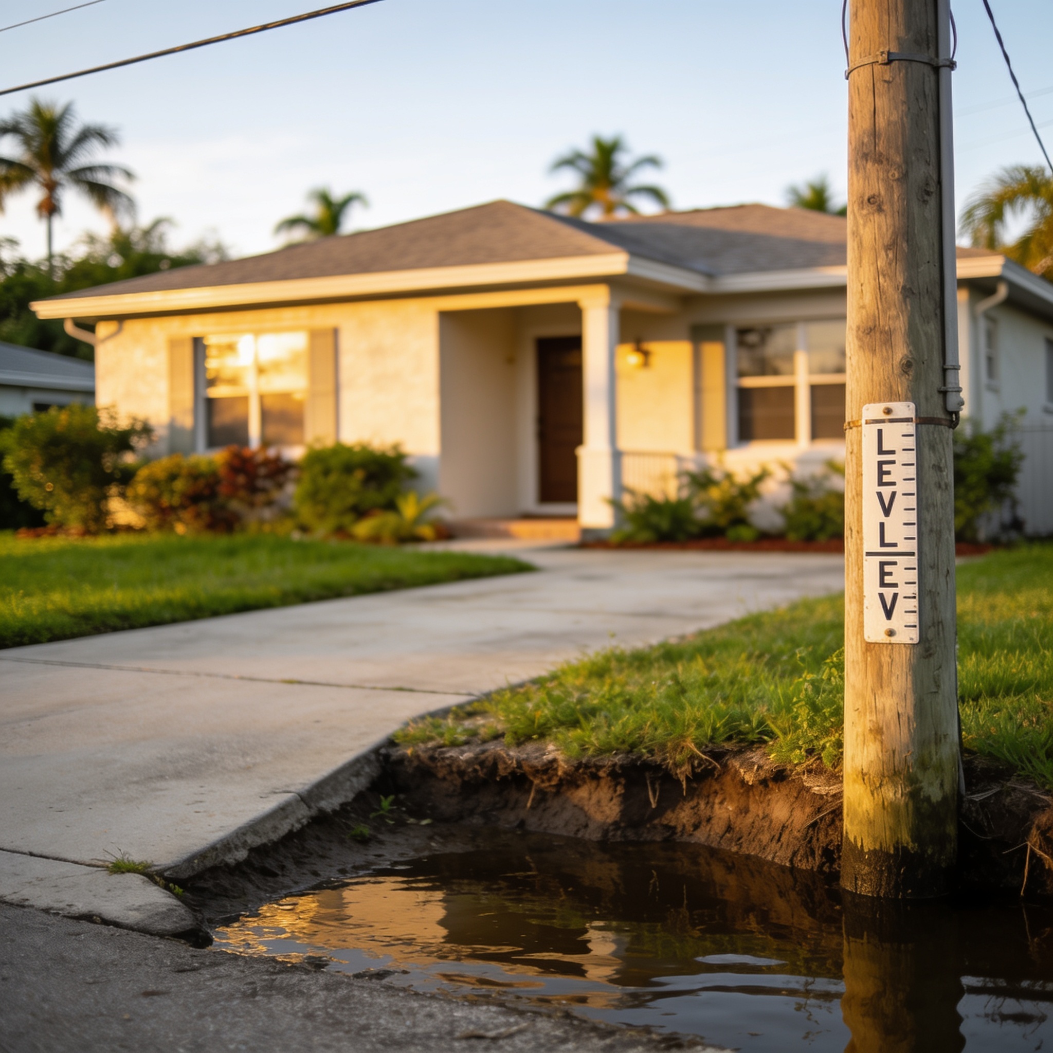
Key Takeaways
- An elevation certificate documents the elevation of your building relative to the estimated height of floodwaters.
- FEMA uses these documents to determine appropriate flood insurance premiums for high-risk areas.
- Most homeowners in Lee, Collier, or Charlotte counties can find existing records through local building departments.
- If no record exists, you must hire a licensed surveyor to perform a new assessment.
- Having an accurate certificate is a critical step in long-term property compliance and disaster recovery.
- It is a legal requirement to maintain accurate records to determine flood insurance rates under the NFIP.
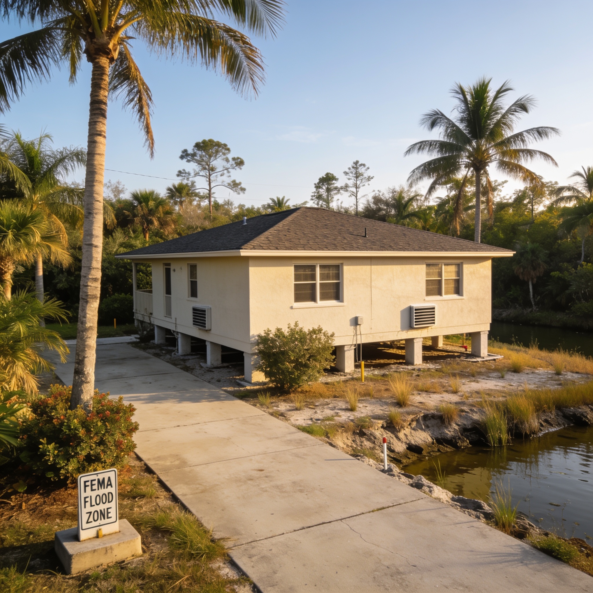
What is a flood elevation certificate and flood risk?
An elevation certificate is a standardized document that provides the elevation data of a structure relative to the ground and the base flood elevation. This document is used by the Federal Emergency Management Agency to verify the building’s lowest floor elevation for insurance rating purposes. It serves as a vital record for homeowners to document your property’s specific risk within a designated floodplain.
Who needs a flood elevation certificate, permit, and compliance?
Owners of properties located in high-risk zones, known as Special Flood Hazard Areas, generally need an elevation certificate to obtain accurate insurance quotes. Local building departments often require this certification during the permit process for new construction or substantial improvements to an existing structure. This ensures that all development adheres to the National Flood Insurance Program (NFIP) standards for safety and resilience. Furthermore, if you plan to rebuild after a disaster, this document is a primary requirement for local ordinance compliance.
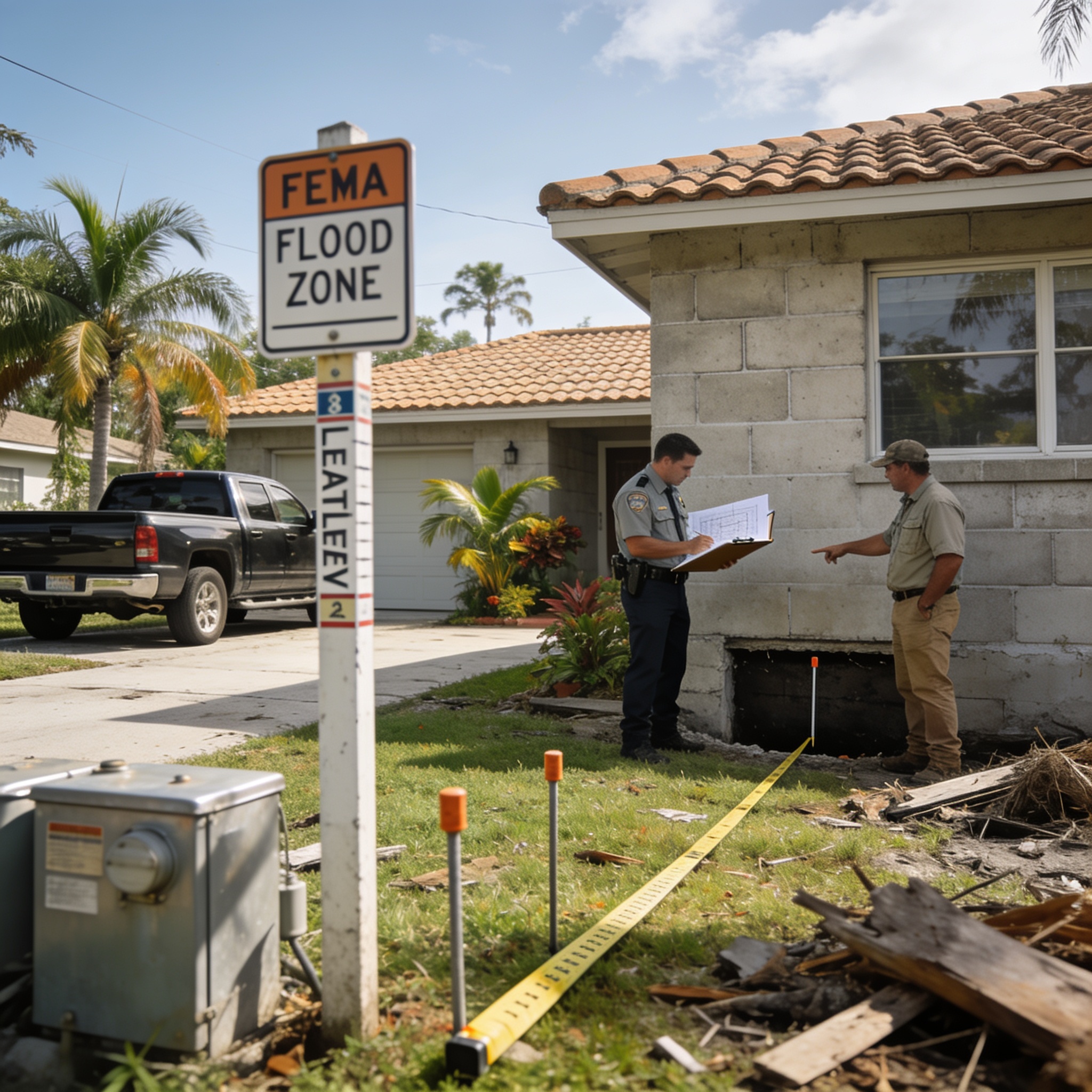
Do you need an elevation certificate if you are not in a flood zone?
You are not strictly required to have an elevation certificate if your property is outside of a high-risk flood zone, though it remains highly recommended for documentation purposes. Maintaining this record helps you prove your property’s flood risk to future buyers or insurance providers if map designations change over time. Even in lower-risk areas, having this data can be beneficial when planning for Water Damage Restoration projects.
Can you get flood insurance without an elevation certificate?
You can technically purchase flood insurance without an elevation certificate, but you may be placed into a higher, non-rated risk category that results in significantly more expensive premiums. Insurance companies rely on the data provided in the certificate to calculate a premium that accurately reflects the actual vulnerability of your home. Without it, you lose the ability to potentially lower your costs based on your building’s specific design features.
How does an elevation certificate affect flood level and insurance rates?
The elevation certificate directly influences your flood insurance rates by providing the precise measurements needed to assess how likely your home is to sustain flood damage. Lowering your insurance costs is often possible if the certificate proves your structure is built significantly higher than the base flood level. This data allows insurers to move away from generic, area-wide pricing toward a model based on your specific property’s elevation.
How do you get an elevation certificate?
Following this 5-step process ensures you obtain the necessary documentation for your property in Southwest Florida:
- Contact your local city or county building department to check if a FEMA elevation certificate is already on file for your address.
- Search the Florida Division of Emergency Management archives or regional flood map databases for existing records.
- If you need to hire a professional, select a state-licensed land surveyor or a certified mapper to perform the assessment.
- Schedule a site visit where the surveyor or builder will take precise measurements of the building’s lowest floor and surrounding grade.
- Receive the signed and sealed certificate form, which you should then upload to your insurance portal or submit to your agent for processing.
How do I get a copy of my existing flood elevation certificate?
You can typically obtain a copy of an existing elevation certificate by contacting the building department of the county where your property is located. Many municipalities in Southwest Florida maintain digital records that are available online for residents to download as a PDF. You should confirm if there is an elevation certificate on file for your property to avoid unnecessary survey costs. If you are currently dealing with property issues in Charlotte County, you might also consult with experts in Water Damage Restoration who often assist in gathering site documentation during recovery.
How much does it cost to get a FEMA elevation certificate?
The cost to obtain a new elevation certificate in Florida generally ranges from $500 to $2,000, depending on the complexity of the site and the professional fees of the surveyor. Prices vary based on the square footage of the building and the proximity to the coast, which influences the time required for accurate surveying. The accuracy of elevation certificates available from licensed professionals is paramount for ensuring your insurance premiums are calculated correctly.
| Expense Component | Estimated Cost Range | Purpose |
|---|---|---|
| Surveyor Professional Fees | $500 – $1,500 | Field measurements and FEMA elevation data collection |
| Administrative Filing Fees | $0 – $200 | Processing the file for your property |
| Expedited Site Analysis | $300 – $500 | Fast-tracking the survey for a building permit |
Frequently asked questions
These common questions address the most frequent concerns regarding property elevation and insurance compliance in Florida.
Does a survey expire?
An elevation certificate does not expire, but it may become obsolete if the property undergoes structural changes or if FEMA updates the local flood maps. You must verify that your current document reflects the exact status of your home after any major renovations or repairs.
Who is authorized to sign an elevation certificate?
Only a licensed land surveyor, professional engineer, or architect authorized by Florida statute 472.0366 can sign and seal the document. Always confirm the professional’s license status with the state board before hiring them to perform your survey.
What is the difference between BFE and lowest floor?
The Base Flood Elevation is the regulatory standard for flood height, while the lowest floor elevation is the actual measurement of your home’s lowest point. Comparing these two figures allows you to determine your property’s vulnerability to rising floodwaters.
Are there grants for elevation?
Some federal programs, such as those administered by FEMA, provide grants to elevate homes that have suffered repetitive flood damage. Homeowners should check with their local emergency management office to see if they qualify for mitigation assistance programs.
Our editorial team verifies licensing and reviews for every restoration company in the directory and writes practical, Florida-specific guides to help homeowners act fast and protect their insurance claims after water, fire, mold or storm damage.