What Does Base Flood Elevation Mean for Your Property?
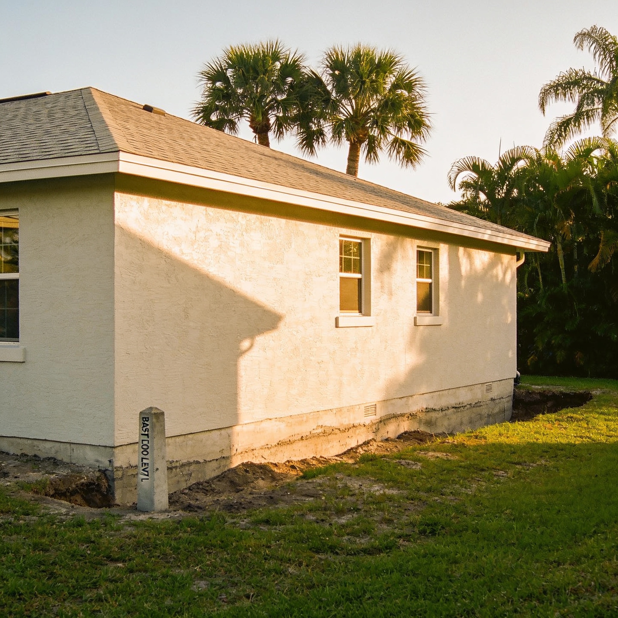
Base flood elevation represents the computed elevation to which floodwater is anticipated to rise during the base flood, which is a flood event that has a 1 percent annual chance of occurring in any given year. Understanding what does base flood elevation mean is essential for every Southwest Florida homeowner because it dictates both building requirements and the cost of your mandatory flood insurance. This measurement is a critical baseline used by the Federal Emergency Management Agency to determine the risk of flooding for specific geographic areas. By reviewing your property’s flood risk, you can better prepare for potential flooding events. To identify the flood risk, you must first understand how FEMA flood zones interact with your property.
Key Takeaways
- BFE is the regulatory requirement for the elevation of the lowest floor of a building in a floodplain.
- FEMA uses hydrologic and hydraulic engineering models to calculate these levels for various flood zones.
- Properties located below the BFE face significantly higher insurance premiums and greater vulnerability to flood damage.
- You can find your specific BFE by consulting the Flood Insurance Rate Map (FIRM) for your community.
- BFE is not a static number and can change as coastal topography and sea levels evolve over time.
What Does Base Flood Elevation (BFE) Mean? A Plain-Language Definition
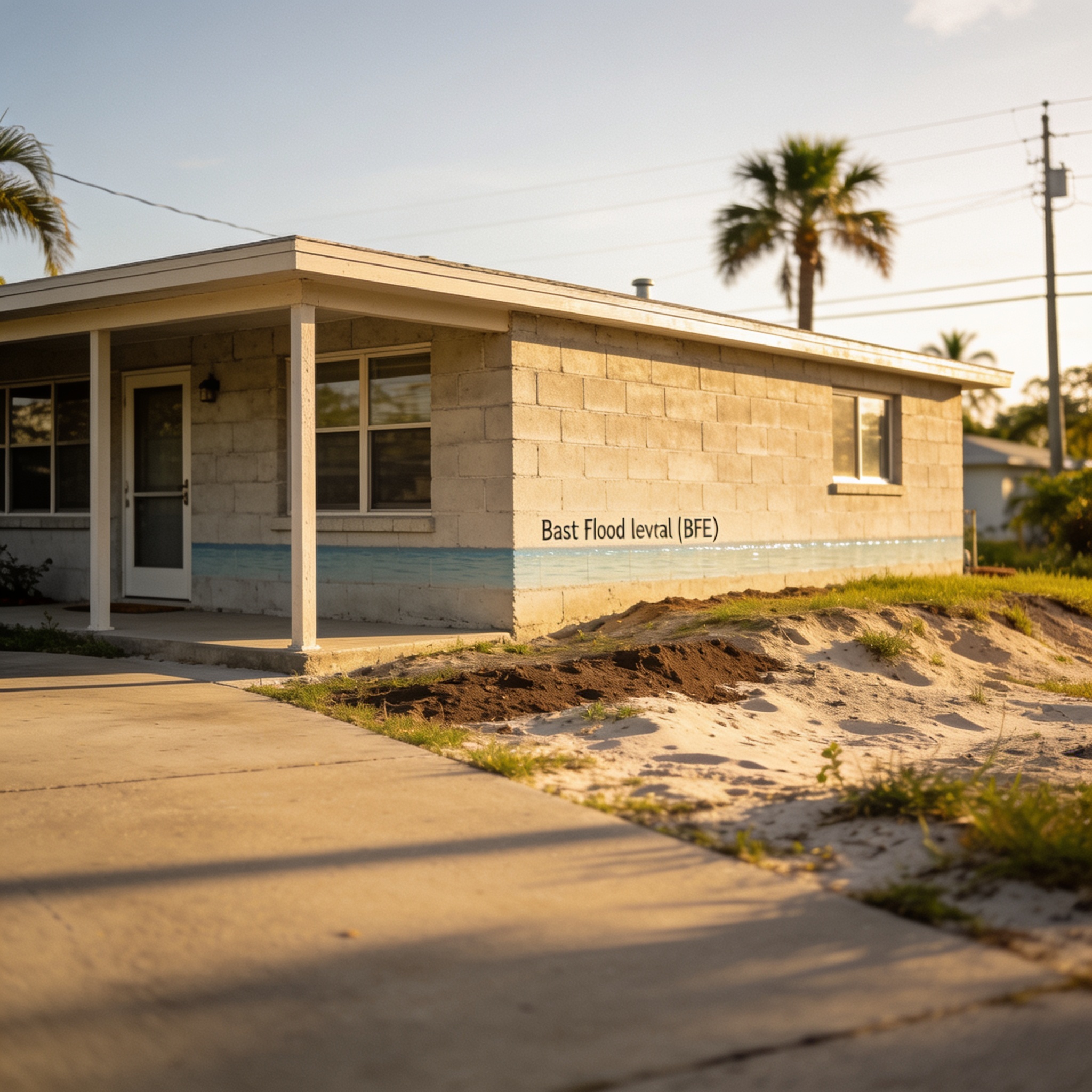
Base flood elevation is the regulatory standard used by the Federal Emergency Management Agency to define the expected height of floodwaters during a 100-year flood event. Knowing your bfe allows you to assess the potential risk of flooding to your home during extreme weather events common in Lee, Collier, and Charlotte counties. This elevation is measured in feet relative to the North American Vertical Datum of 1988 (NAVD88). It serves as the benchmark for floodplain management and local building codes. When you learn how base flood elevation is calculated, you can better understand why flood water levels are a primary concern for local safety, especially when considering a flood with a 1 percent annual chance of occurrence.
How Is Base Flood Elevation (BFE) Determined by FEMA?
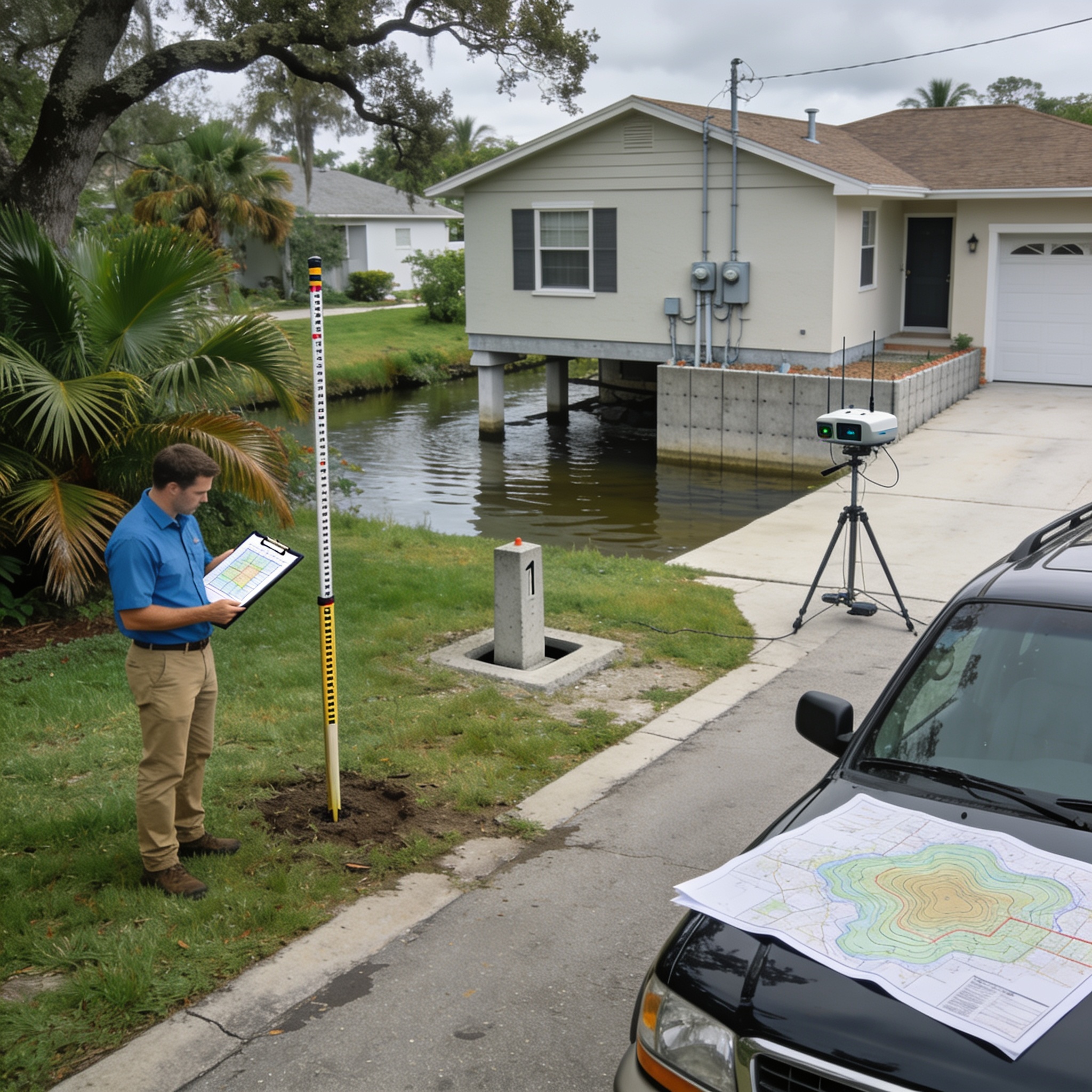
The bfe determined for a specific area is calculated through rigorous hydrological and hydraulic studies conducted by the Federal Emergency Management Agency. Engineers analyze historical rainfall data, river flow rates, and coastal storm surge models to map how high floodwaters are expected to rise during a 1 percent annual chance flood. These findings are then compiled into a Flood Insurance Study (FIS) and visualized on a Flood Insurance Rate Map (FIRM). Local governments in SWFL use this flood data to enforce construction standards that minimize future flooding. If you are planning to build, you must determine the BFE to ensure compliance with local ordinances, as this is a key factor in determining your safety.
Is a Higher or Lower Base Flood Elevation (BFE) Better for Your Property?
A higher elevation relative to the BFE is always better for your property because it provides a greater buffer against rising floodwaters. Building your home’s lowest floor higher than the required bfe significantly reduces your risk of flooding and lowers your annual flood insurance premiums. Conversely, if your home is situated at an elevation lower than the BFE, you are technically in a high-risk flood zone. This status often necessitates the use of professional water damage restoration companies to mitigate losses after a major storm. Proper flood protection, such as flood proofing, can help manage the impact of flooding, which often impacts flood insurance eligibility.
What Is the Difference Between Base Flood Elevation (BFE) and Other Flood Terms?
It is important to distinguish between BFE and other common terms like the Special Flood Hazard Area (SFHA) or the 100-year floodplain. While the SFHA defines the geographic area subject to a 1 percent annual chance of flooding, the bfe is the specific vertical measurement of that flood risk within that zone. Other terms like “design flood elevation” may refer to the BFE plus an additional “freeboard” requirement set by local ordinances. Understanding these distinctions helps homeowners navigate the complexities of the National Flood Insurance Program and zone designations, such as zone A99, which indicates areas protected by federal flood control systems.
How Do I Find the Base Flood Elevation (BFE) for My Property?
You can find the base flood elevation for your property by accessing the FEMA Flood Map Service Center online. To find your bfe, you must enter your address into the FEMA search tool to view the effective Flood Insurance Rate Map for your neighborhood. If the map is difficult to interpret, you may need to consult an elevation certificate prepared by a licensed surveyor. For those dealing with recent water intrusion, contacting local Water Damage Restoration in Punta Gorda can also provide insight into your property’s historical flood data. You can also determine bfe by checking official records to see if your home in a flood zone requires specific elevation adjustments.
What Happens If My Home Is Below the Base Flood Elevation (BFE)?
If your home’s lowest floor is below the BFE, your property is considered to be in a high-risk flood zone and is highly susceptible to severe flood damage. Homeowners with properties below the bfe often face significantly higher insurance costs and may be required by lenders to purchase flood insurance as a condition of their mortgage. In these instances, implementing mitigation strategies like flood vents or elevating utilities is crucial. Should a flood occur, homeowners should immediately contact certified water damage restoration services to prevent secondary mold growth. BFE is used to establish these requirements, and bfe information is critical for long-term safety, as it identifies the risk of flooding and may dictate structural requirements for construction or substantial improvements.
How Does Base Flood Elevation (BFE) Affect Flood Insurance Rates?
The relationship between your home’s elevation and the BFE is one of the primary factors in determining flood insurance premiums. FEMA calculates the difference between your lowest floor elevation and the bfe to determine your annual risk. Homes built well above the BFE are viewed as lower risk, resulting in more affordable coverage. Properties that fall below the BFE are categorized as high-risk, which triggers higher premiums under the National Flood Insurance Program. Understanding bfe and flood insurance is essential for every homeowner, as bfe is the elevation at which water is expected to rise during a 100-year flood.
How High Above BFE Do You Need to Build to Avoid Flood Insurance?
While building above the BFE reduces your risk, you generally cannot avoid the requirement to purchase flood insurance if your property is located within a Special Flood Hazard Area (SFHA). Most mortgage lenders will require you to maintain flood insurance if your property is in a high-risk flood zone, regardless of how high your home is elevated above the bfe. However, building with “freeboard”—typically one and three feet above the BFE—can drastically reduce your flood insurance costs. This practice is highly recommended for new construction throughout the hurricane-prone coast of Southwest Florida.
Can Base Flood Elevation (BFE) Change Over Time?
The BFE is not a permanent number and can be updated by the Federal Emergency Management Agency as environmental conditions change. Factors such as coastal erosion, land development, and sea level rise can cause the bfe to fluctuate, requiring FEMA to update flood maps periodically. When these maps are updated, your property’s flood zone classification may change, which directly impacts your flood insurance requirements. Homeowners should monitor local floodplain management updates to stay informed about changes to their property’s risk profile, as bfe is shown on the flood maps to reflect current environmental data and historical flood trends.
Frequently asked questions
These common questions clarify how BFE affects your daily life as a property owner in Florida.
What is the 100-year flood?
The 100-year flood is a statistical term representing a flood that has a 1 percent chance of being equaled or exceeded in any given year. It is the standard used to define the BFE.
Do I need an elevation certificate?
An elevation certificate is a document that provides the elevation data necessary to determine the proper flood insurance premium for your building.
What is a Letter of Map Amendment (LOMA)?
A LOMA is an official amendment to the effective FEMA flood map that removes a property from the Special Flood Hazard Area based on accurate elevation data.
What are Zone AE and Zone A?
Zone AE is an area with a high risk of flooding where BFE data is provided, while Zone A is a high-risk area where BFE data has not yet been determined.
| Term | Definition |
|---|---|
| BFE | The computed elevation of floodwater during a 1% annual chance flood. |
| SFHA | The land area covered by the floodwaters of the base flood. |
| FIRM | The official map of a community showing flood zones and BFE. |
| Freeboard | An additional height added to the BFE for safety and insurance savings. |
See also: water damage restoration companies
See also: Water Damage Restoration
See also: Water Damage Restoration
Our editorial team verifies licensing and reviews for every restoration company in the directory and writes practical, Florida-specific guides to help homeowners act fast and protect their insurance claims after water, fire, mold or storm damage.